WEATHER ALERT
ENVIRONMENT CANADA
*************************
Winter storm warning in effect for:
- Niagara Falls - Welland - Southern Niagara Region
- St. Catharines - Grimsby - Northern Niagara Region
A major winter storm is expected.
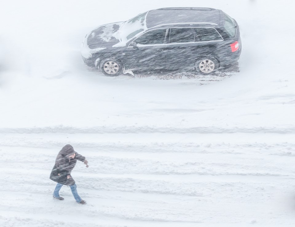
Winter storm continues this morning.
Heavy snow is expected to continue this morning. Total snowfall amounts of 25 to 35 centimetres are expected before snow tapers off early this afternoon. Northeast winds gusting near 50 km/h will result in very poor visibility in blowing snow.
Even higher amounts of snow may be possible, up to 40 centimetres, in some locations due to extra moisture coming off Lake Ontario. Locally higher amounts may also occur on the higher elevations of the escarpment.
Local blowing snow may persist until this afternoon.
Consider postponing non-essential travel until conditions improve. Rapidly accumulating snow could make travel difficult over some locations. Visibility may be suddenly reduced at times in heavy snow. There may be a significant impact on rush hour traffic in urban areas.
Please continue to monitor alerts and forecasts issued by Environment Canada. To report severe weather, send an email to [email protected] or tweet reports using #ONStorm.
*************************


