WEATHER ALERT
ENVIRONMENT CANADA
*************************
Heat warning in effect for:
- Niagara Falls - Welland - Southern Niagara Region
- St. Catharines - Grimsby - Northern Niagara Region
Heat event continues through Sunday.
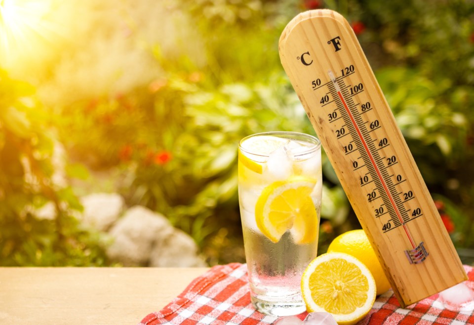
Daytime high temperatures in the low thirties with humidex values approaching 40 are expected again today and Sunday. Overnight lows in the low twenties tonight will provide little relief from the heat.
The heat event is expected to end Sunday night with slightly cooler temperatures expected on Monday after the passage of a cold front.
Hot and humid air can also bring deteriorating air quality and can result in the Air Quality Health Index approaching the high risk category.
Drink plenty of water even before you feel thirsty and stay in a cool place.
Check on older family, friends and neighbours. Make sure they are cool and drinking water
Seek a cool place such as a tree-shaded area, swimming pool, shower or bath, or air-conditioned spot like a public building.
Never leave people or pets inside a parked vehicle.
Watch for the symptoms of heat illness: dizziness/fainting; nausea/vomiting; rapid breathing and heartbeat; extreme thirst; decreased urination with unusually dark urine.
Heat warnings are issued when very high temperature or humidity conditions are expected to pose an elevated risk of heat illnesses, such as heat stroke or heat exhaustion.
Please continue to monitor alerts and forecasts issued by Environment Canada. To report severe weather, send an email or tweet reports using #ONStorm.
*************************


